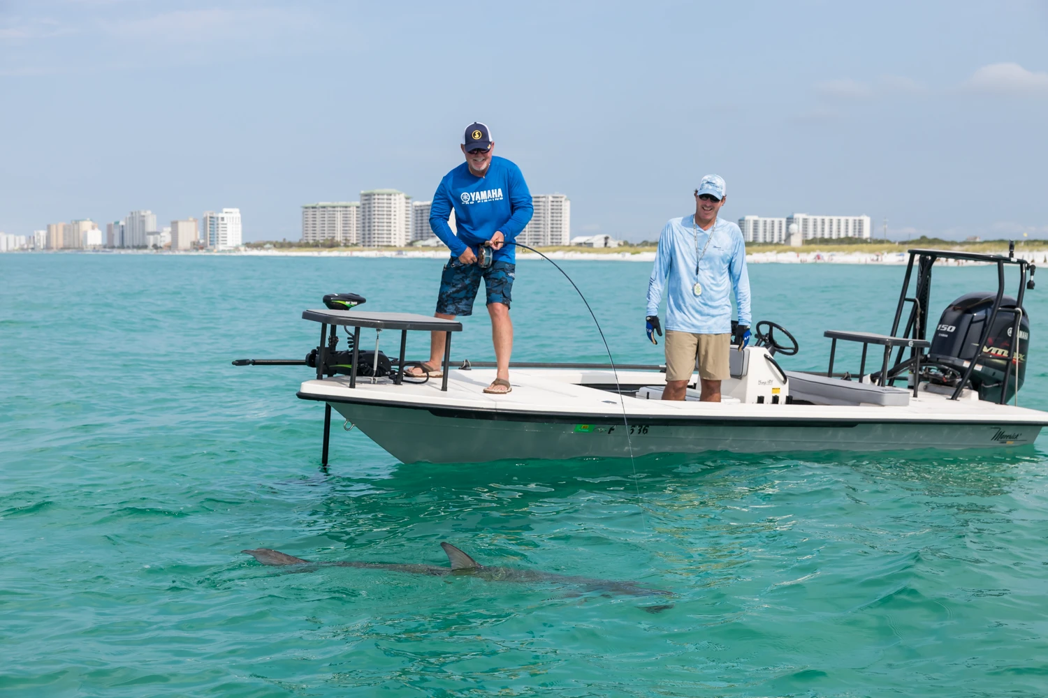
Weather
AND TIDES
Weather and Tides

× close
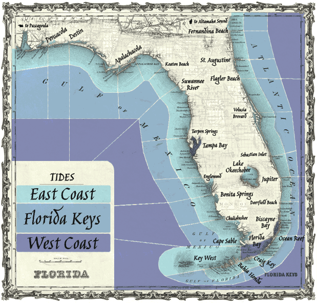
Tides:
Weather Forecast
Synopsis: Altamaha Sound, GA to Flagler Beach, FL out 60 NM
- Altamaha Sound, GA to Fernandina Beach, FL out 20 NM
- Altamaha Sound, GA to Fernandina Beach, FL 20-60 NM
- Fernandina Beach to St. Augustine, FL out 20 NM
- Fernandina Beach to St. Augustine, FL out 20-60 NM
- St. Augustine to Flager Beach, FL out 20 NM
- St. Augustine to Flager Beach, FL out 20-60 NM
- Flagler Beach to Volusia-Brevard County Line out 20 NM
- Flagler Beach to Volusia-Brevard County Line 20-60NM
- Volusia-Brevard County Line to Sebastian Inlet out 20 NM
- Volusia-Brevard County Line to Sebastian Inlet 20-60 NM
- Sebastian Inlet to Jupiter Inlet out 20 NM
- Sebastian Inlet to Jupiter Inlet 20-60 NM
- Lake Okeechobee, FL
- Jupiter Inlet to Deerfield Beach, FL out 20 NM
- Jupiter Inlet to Deerfield Beach, FL 20-60 NM
- Biscayne Bay, FL
- Deerfield Beach to Ocean Reef, FL out 20 NM
- Deerfield Beach to Ocean Reef, FL 20-60 NM
- Ocean Reef to Craig Key, FL out 20 NM
- Ocean Reef to Craig Key, FL 20-60 NM
- Florida Bay
- Gulf side of the lower Keys out 20 NM
- Craig Key to the west end of 7 mile bridge out 20 NM
- Craig Key to west end of 7 mile bridge 20-60 NM
- West end of 7 mile bridge to Key West, FL out 20 NM
- West end of 7 mile bridge to Key West, FL 20-60 NM
- Gulf waters from Key West, FL including Dry Tortugas
- East Cape Sable to Chokoloskee, FL out 20 NM
- Gulf, East Cape Sable to Chokoloskee, FL 20-60 NM
- Chokoloskee to Bonita Beach, FL out 20 NM
- Chokoloskee to Bonita Beach, FL 20-60 NM
- Bonita Beach to Englewood, FL out 20 NM
- Bonita Beach to Englewood, FL 20-60 NM
- Tampa Bay
- Englewood to Tarpon Springs, FL out 20 NM
- Englewood to Tarpon Springs, FL 20-60 NM
- Tarpon Springs to Suwannee River, FL out 20 NM
- Tarpon Springs to Suwannee River, FL 20-60 NM
- Apalachee Bay or Keaton Beach to Ochlockonee River FL out 20 NM
- Ochlockonee River to Apalachicola, FL out 20 NM
- Suwannee River to Apalachicola, FL 20-60 NM
- Suwannee River to Keaton Beach out 20 NM
- Apalachicola to Destin, FL out 20 NM
- Apalachicola to Destin, FL 20-60 NM
× close